Earlier this week I completed the first stage of my trip between Victoria, Nanaimo, and home. I started this portion of the trip a week early since I could end it at home to wait for my graduation before continuing eastwards. This stage, as I will be for the next, I was accompanied by my Uncle Michael.
Sunday afternoon, we were driven to the Tsawwassen ferry terminal to catch a ferry to Swartz Bay. Unfortunately, as a result of being driven, I left my odometer at home. Normally, I would never bike anywhere without it but in this case, I didn’t leave by bike and so didn’t miss it until too late. Fortunately, my uncle has one as well and I would be able to read the distances from his at the end of the day. It did feel unusual to not know my speed while traveling though.
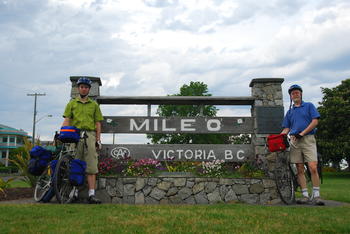
From Swartz Bay we cycled south along the Lochside bike route into downtown Victoria where we would find the western ‘Mile 0’ marker of the Trans Canada Highway in Beacon Hill Park. The route was a very nice combination of low traffic side streets and both paved and gravel paths, much of which used to be a rail line. Most amazingly, while on this route, we are completely hidden from the city, and it from us. Eventually we came out in the middle of the city and made our way to Mile 0. At this point, we had rode 37.3km. After taking some pictures, we backtracked north and made our way to my Uncle Chris’s home in Saanich where we stayed the night. Another 15.3km for a total of 52.6km for the day.
After a quick breakfast, we left at 8:30 the next morning as my Cousin Alistair had to leave for school and lock the door behind us. We took the Brentwood Bay Ferry to Mill Bay to avoid the steep climbs of the Malahat highway and then took a variety of back roads to Cowichan Bay, where we had lunch at the Rock Cod Cafe. We continued north to Chemainus and across another ferry to Thetis Island to stay the night at my grandparent’s. 62.7km for the day.
Another early start got us on our way to Nanaimo along the Yellow Point and Cedar roads. I’ve cycled this route several times before, most recently as little as two weeks earlier. A short while into the trip we stoped for a roadside visit with my Uncle David and the rest of his family when we encountered them driving in the opposite direction. From Nanaimo we caught the ferry to Departure Bay and cycled home so that we could continue the next stage from here later with no gaps in the route. This was a longer day of 91.5km. Though with the 2 hour break on the ferry, the extra distance did not seem noticeable.
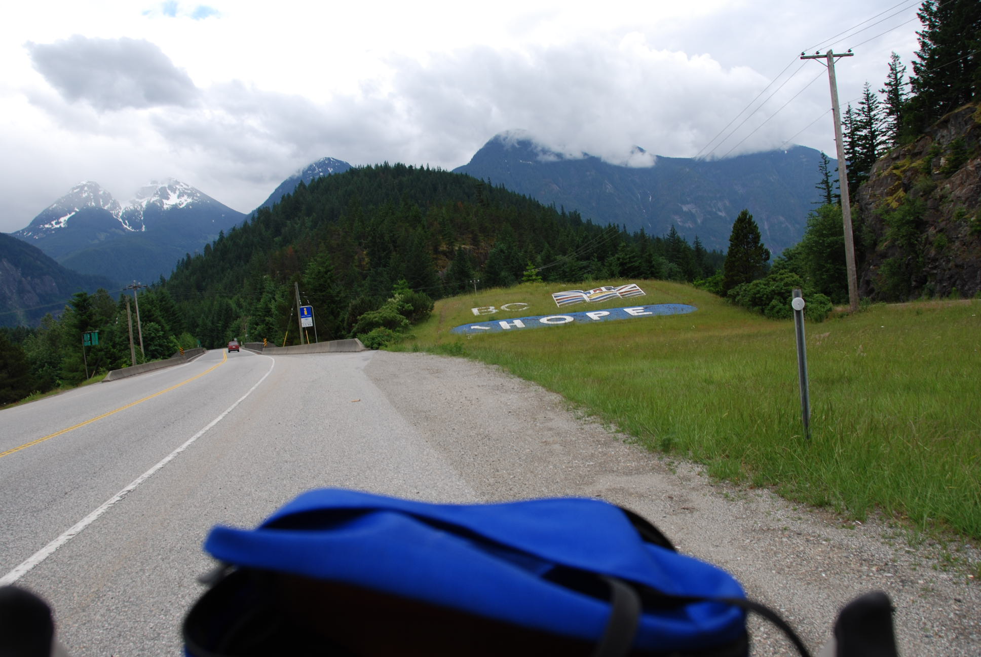
 After encountering another cyclist in Hope heading east (an older woman biking home to Toronto solo), we had a quick breakfast and set off around 8:30. Our first stop was in Yale for a quick snack next to a historic Museum/Church. A few kilometers down the road, I got my second flat around the Yale Tunnel by turning my rear tire over a large rock and causing another pinch flat.